Can you imagine an earthquake larger than we’ve ever seen before, followed 30 mins later by a tsunami the likes of which we’ve never seen? Well after reading this New Yorker piece consider yourself warned. Anyone living between the ocean and interstate 5 in Northern California, Oregon, Washington on up to Vancouver might want to think about moving… It’s coming, and it’s going to be massive.
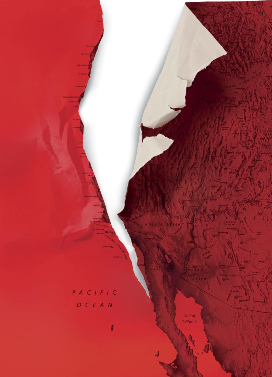
Just north of the San Andreas, however, lies another fault line. Known as the Cascadia subduction zone, it runs for seven hundred miles off the coast of the Pacific Northwest, beginning near Cape Mendocino, California, continuing along Oregon and Washington, and terminating around Vancouver Island, Canada. The “Cascadia” part of its name comes from the Cascade Range, a chain of volcanic mountains that follow the same course a hundred or so miles inland. The “subduction zone” part refers to a region of the planet where one tectonic plate is sliding underneath (subducting) another. Tectonic plates are those slabs of mantle and crust that, in their epochs-long drift, rearrange the earth’s continents and oceans. Most of the time, their movement is slow, harmless, and all but undetectable. Occasionally, at the borders where they meet, it is not.
Take your hands and hold them palms down, middle fingertips touching. Your right hand represents the North American tectonic plate, which bears on its back, among other things, our entire continent, from One World Trade Center to the Space Needle, in Seattle. Your left hand represents an oceanic plate called Juan de Fuca, ninety thousand square miles in size. The place where they meet is the Cascadia subduction zone. Now slide your left hand under your right one. That is what the Juan de Fuca plate is doing: slipping steadily beneath North America. When you try it, your right hand will slide up your left arm, as if you were pushing up your sleeve. That is what North America is not doing. It is stuck, wedged tight against the surface of the other plate.
Without moving your hands, curl your right knuckles up, so that they point toward the ceiling. Under pressure from Juan de Fuca, the stuck edge of North America is bulging upward and compressing eastward, at the rate of, respectively, three to four millimetres and thirty to forty millimetres a year. It can do so for quite some time, because, as continent stuff goes, it is young, made of rock that is still relatively elastic. (Rocks, like us, get stiffer as they age.) But it cannot do so indefinitely. There is a backstop—the craton, that ancient unbudgeable mass at the center of the continent—and, sooner or later, North America will rebound like a spring. If, on that occasion, only the southern part of the Cascadia subduction zone gives way—your first two fingers, say—the magnitude of the resulting quake will be somewhere between 8.0 and 8.6. That’s the big one. If the entire zone gives way at once, an event that seismologists call a full-margin rupture, the magnitude will be somewhere between 8.7 and 9.2. That’s the very big one.
Flick your right fingers outward, forcefully, so that your hand flattens back down again. When the next very big earthquake hits, the northwest edge of the continent, from California to Canada and the continental shelf to the Cascades, will drop by as much as six feet and rebound thirty to a hundred feet to the west—losing, within minutes, all the elevation and compression it has gained over centuries. Some of that shift will take place beneath the ocean, displacing a colossal quantity of seawater. (Watch what your fingertips do when you flatten your hand.) The water will surge upward into a huge hill, then promptly collapse. One side will rush west, toward Japan. The other side will rush east, in a seven-hundred-mile liquid wall that will reach the Northwest coast, on average, fifteen minutes after the earthquake begins. By the time the shaking has ceased and the tsunami has receded, the region will be unrecognizable. Kenneth Murphy, who directs FEMA’s Region X, the division responsible for Oregon, Washington, Idaho, and Alaska, says, “Our operating assumption is that everything west of Interstate 5 will be toast.”
In the Pacific Northwest, everything west of Interstate 5 covers some hundred and forty thousand square miles, including Seattle, Tacoma, Portland, Eugene, Salem (the capital city of Oregon), Olympia (the capital of Washington), and some seven million people. When the next full-margin rupture happens, that region will suffer the worst natural disaster in the history of North America.


